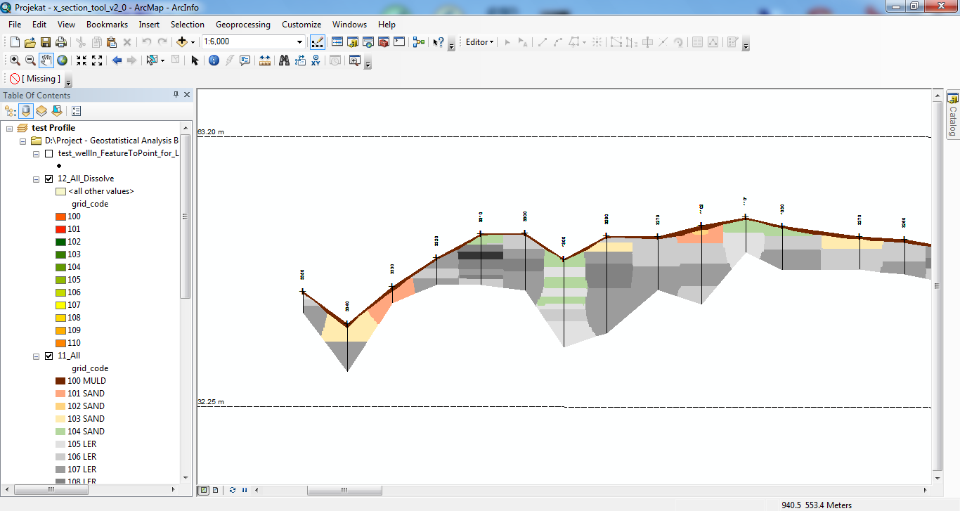
Projects - Processed and analyzed data from 150 borehole profiles collected at multiple depth intervals to develop a comprehensive and spatially continuous ground model. Advanced GIS techniques were applied to estimate subsurface properties between sampled locations and across different soil depths.
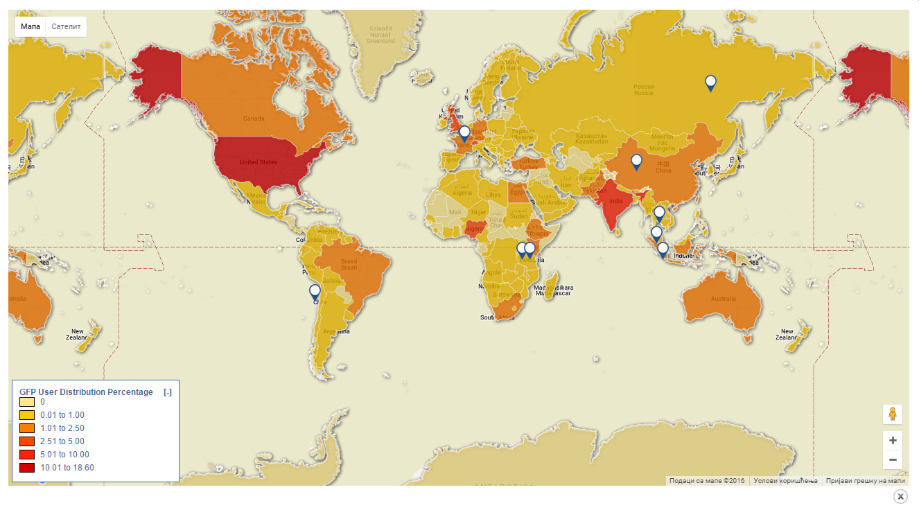
Project - Participated in the development and implementation of a Google Maps-based geospatial solution designed to support the visualization and presentation of GFP Trade Facilitation activities. The project involved integrating spatial data and GIS functionalities into an interactive web mapping environment to improve data accessibility and geographic understanding.
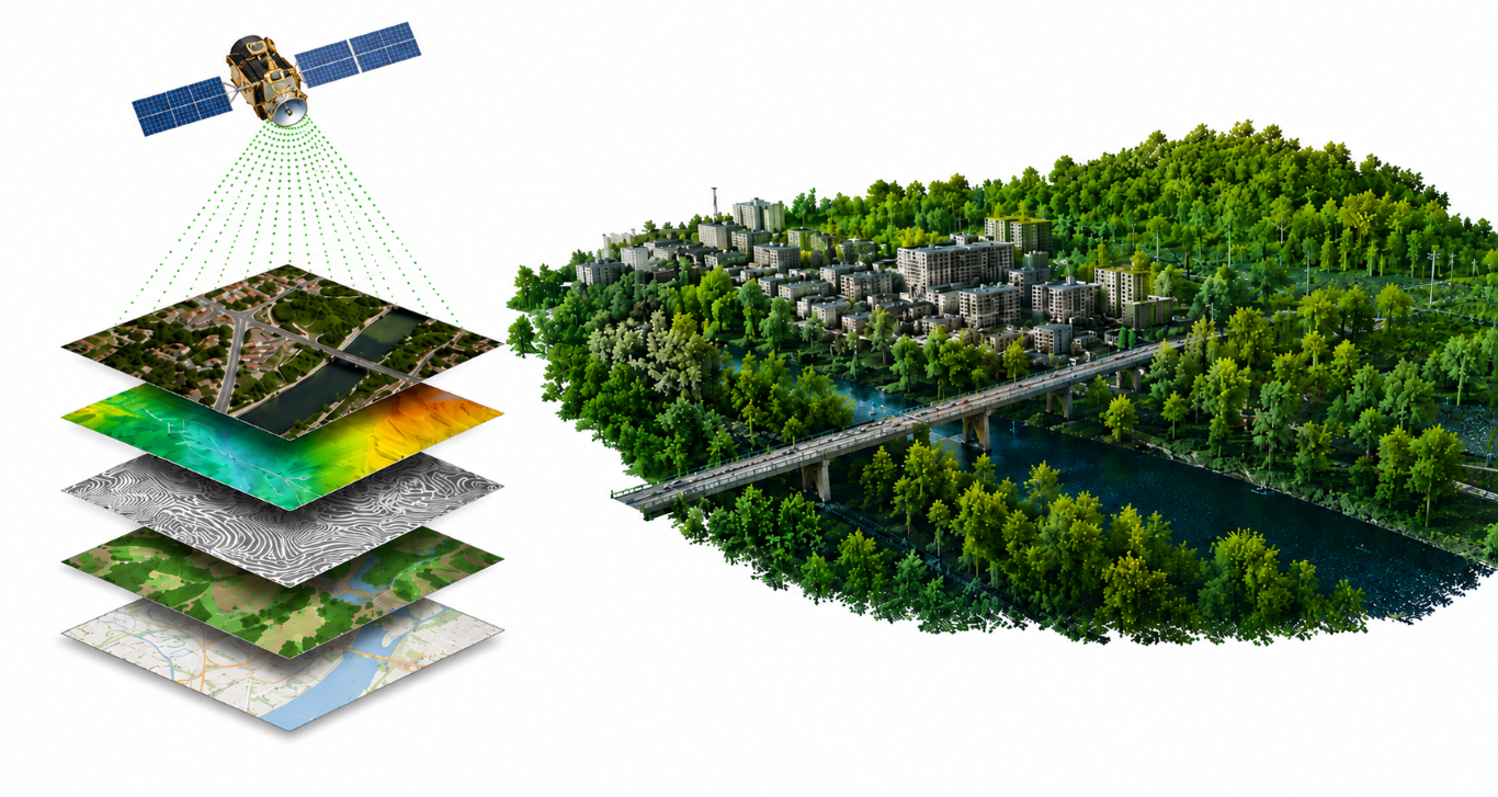
Project - Processed a large-scale LiDAR dataset within a GIS environment to extract building roof dimensions, elevations, and orientations. The resulting geospatial data were then converted and integrated into a PostgreSQL/PostGIS spatial database, enabling spatial visualization and overlay with Google Maps. As a final result, more than 1.7 million individual rooftops were successfully detected and analyzed across the study area.